Bruin Point
Amongst the Mines
The trail to Bruin Point traverses a portion of the Book Cliffs that takes you by old mining ruins with an abandoned tram system still in place.
A Rugged
Ride
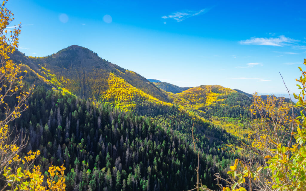
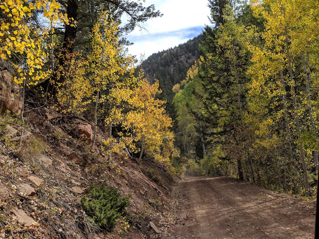
Bruin Point is a high mountain that peaks at over 10,000 feet above sea level. The trail to the summit, one of the few easy to access routes to the top of the Book Cliffs, is an unpaved rocky road ideal for OHVing or horseback riding. The road is narrow, steep and winding, making for some white knuckle moments.
The route climbs up Whitmore Canyon which makes for a beautiful ascent, eagle eyes have been known to spot big horn sheep as they make their way up the canyon. From Whitmore Canyon the trail switches over to Water Canyon, which features glimpses of the region’s mining past. Remnants of the old mining tram cross the path, and the left over trestles and ruins draw out photographers looking to capture snapshots of yesteryear.
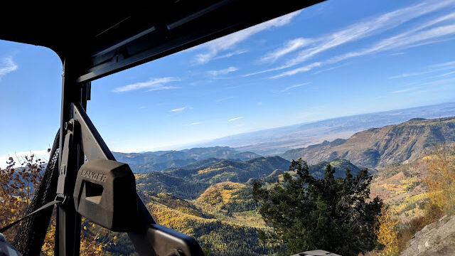
At the top, you get a view of the valley below, depending on the weather you can quite literally see for miles, views of the surrounding Book Cliffs and San Rafael Swell are excellent on clear days.
LOCATION
Head east out of Price on Highway 6, turn east on Highway 123 heading towards Sunnyside. On the other side of town the highway turns north and you are looking for a sign on the right that says “Bruin Point 5.5 miles.” Follow this road as it climbs very steep at times to the highpoint. At Bruin Point are several roads in different directions, stay left to get to the top.
ACTIVITIES